US 50 Over Spooner Summit: The Carson City to Lake Tahoe Drive
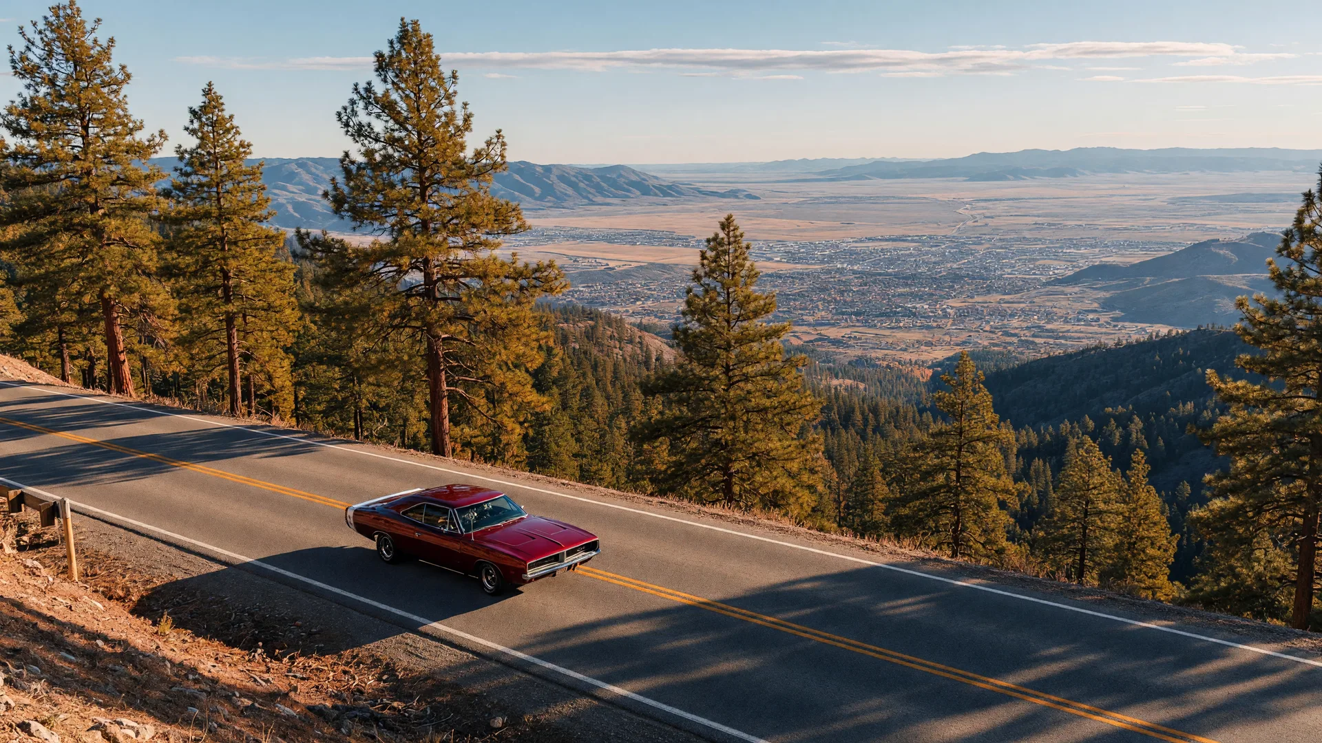
US 50 from Carson City to Lake Tahoe is the drive that explains why so many car people end up in Northern Nevada. In twelve miles the road climbs roughly 2,500 feet from the capital at about 4,700 feet to Spooner Summit at roughly 7,146 feet, the highest point on US 50 between Carson City and the Tahoe Basin. On the far side, the pavement drops toward the lake through one last set of curves. It is a short drive, but it packs more scenery, history, and driving joy per mile than almost anything else in the region.
The climb out of Carson City starts gently on the valley floor, where sagebrush gives way to Ponderosa pine as the road bends into the Carson Range, the easternmost crest of the Sierra Nevada. The grade tightens through a series of curves, and the views open up across Washoe Valley and the high desert behind you. Just before the summit, the road passes Spooner Lake, a small alpine lake and trailhead for the Tahoe Rim Trail that draws hikers and snow-play crowds on weekends. The summit itself is a quiet saddle in the trees, unmarked by anything dramatic. The payoff comes immediately after.
The View From the Top
Westbound, the lake appears as you crest the summit: the deep blue of Tahoe's east shore framed by granite and pine below. The road descends to the junction with SR 28 at the lake's northeast corner, where the East Shore Drive heads north toward Incline Village and Mount Rose, and Kingsbury Grade climbs south toward the Carson Valley. On a clear day you can see the whole basin. For enthusiasts this is the reward: a mountain pass with real character, but a short one, so you can run it several times in a single afternoon.
A Road With Deep History
This stretch of pavement is also a piece of American road history. US 50 carried the original Lincoln Highway, America's first coast-to-coast automobile route, over the Sierra here, and the corridor has been a travel way since the 1860s, when Spooner's Station served stagecoach and wagon traffic near today's junction. The route is also the scenic western gateway to the Loneliest Road in America, the name Life magazine gave US 50 in 1986. Drive it east and you are starting one of the great cross-country highways.
Why Car People Live at the Foot of the Pass
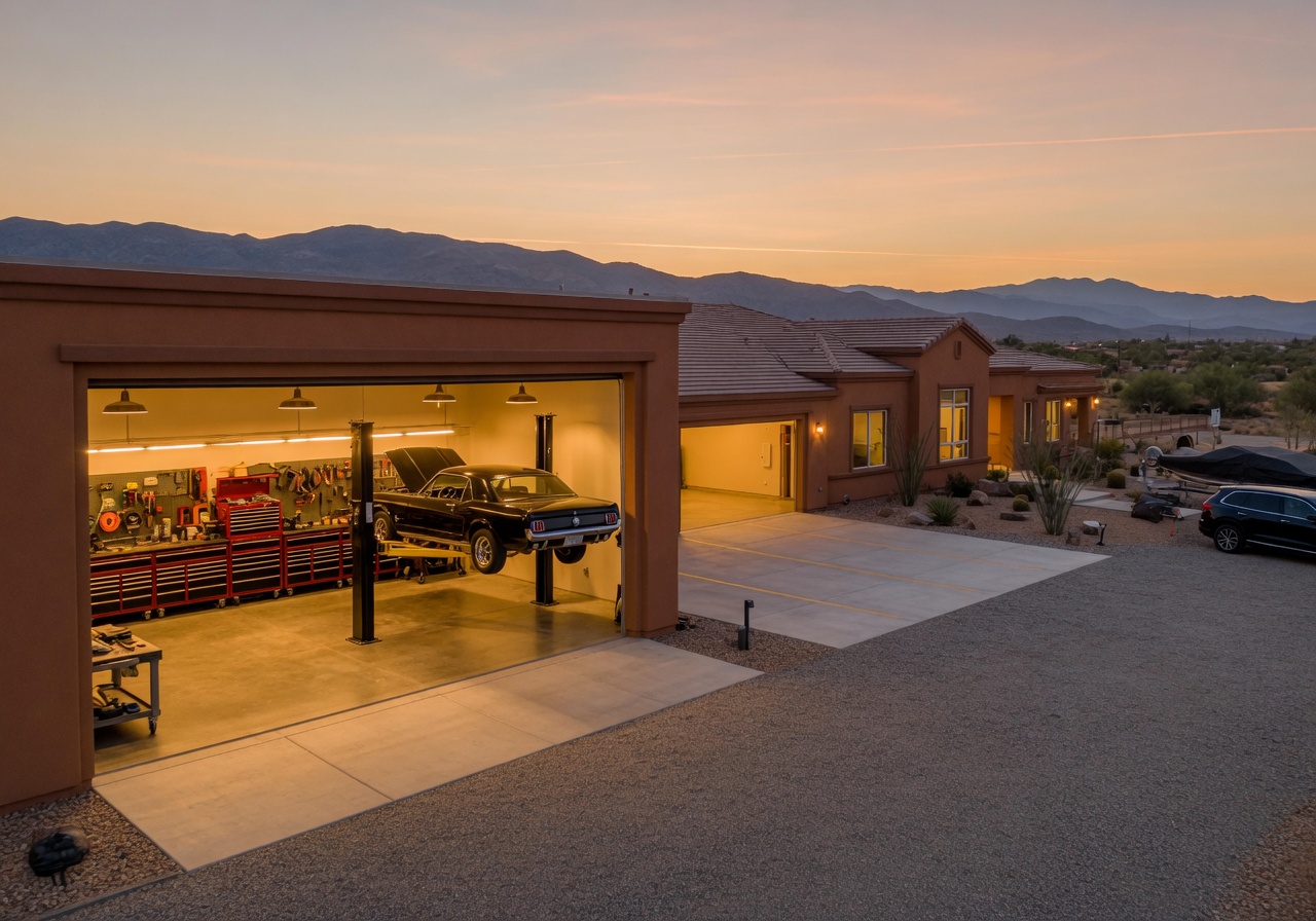
For car people weighing a move, the appeal is the daily version of this drive. Carson City sits at the base of the climb, a short run from Tahoe, Reno, and the Carson Valley, with a housing market that favors garage space: three-car garages, RV bays, and detached shops show up regularly. If you want the mountains on your weekends and room for your toys at home, browse homes in Carson City to see what is on the market, and browse homes with 3+ car garages if parking and shop space are the deal-breakers.
US 50 over Spooner Summit is short, scenic, and steeped in history. It is the kind of road that makes Northern Nevada feel like home the first time you drive it. Take the climb, enjoy the view, and take the long way back.
Related Reading
Lake Tahoe's Best Driving Routes
The full 72-mile scenic loop, Highway 89's west shore, Emerald Bay, and the east shore route down from Spooner Summit.
Highway 50: The Loneliest Road
The Loneliest Road in America starts in Carson City, and Spooner Summit is its scenic western gateway.
Kingsbury Grade to Tahoe
The Carson Valley's own gateway to the Tahoe Basin, climbing 2,600 feet through 11 miles of curves.