Highway 50: Driving the Loneliest Road from Carson City
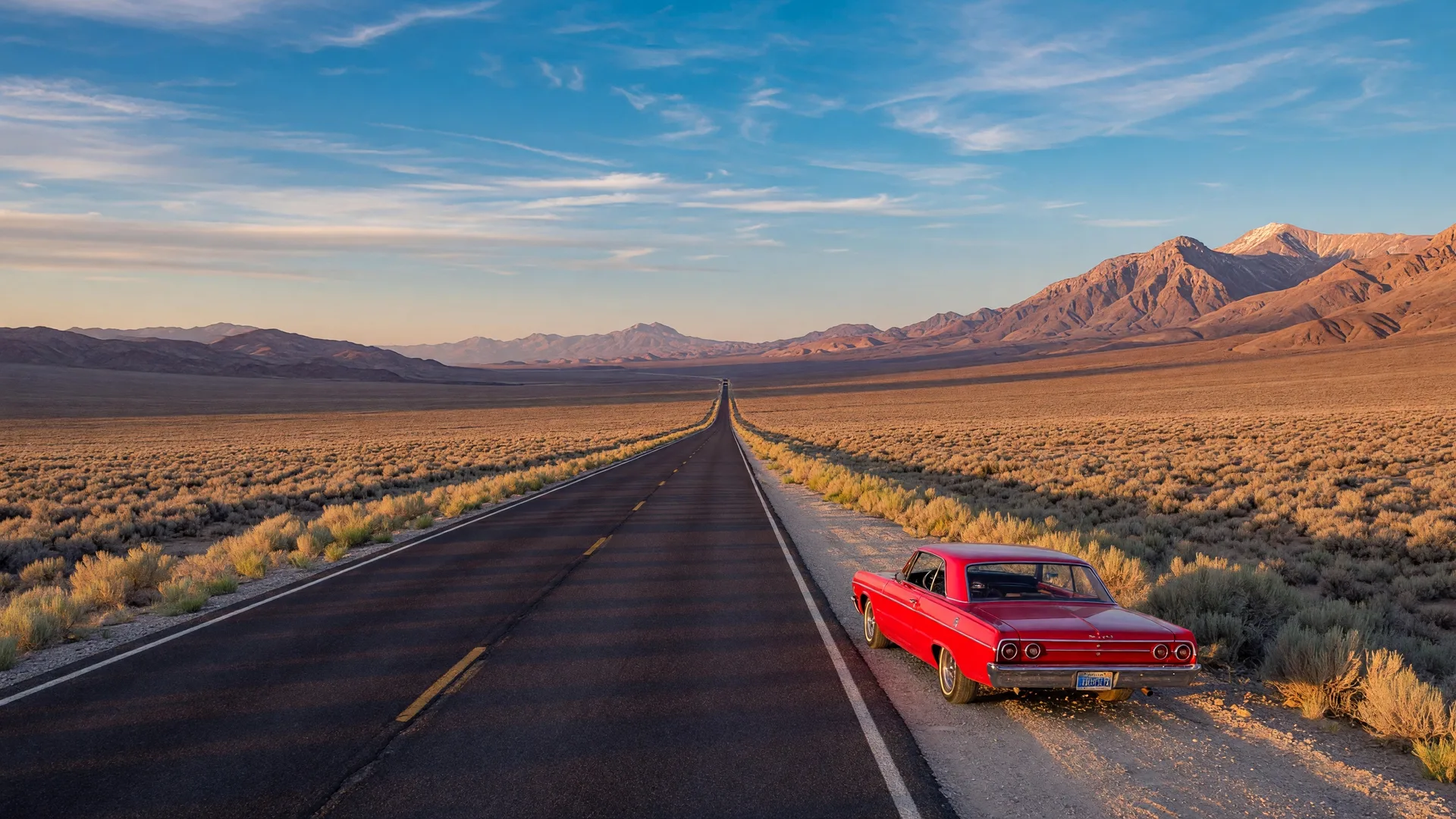
There are certain roads that every car enthusiast needs to drive at least once. Highway 50 across Nevada is one of them. It's a 400-mile ribbon of two-lane asphalt that cuts through the heart of the Great Basin Desert, connecting Carson City to the Utah border through some of the most remote and beautiful country in the American West.
Life magazine famously called it the "Loneliest Road in America" back in 1986, and the name stuck. But for those of us who live here in Northern Nevada, that "loneliest" label isn't a warning — it's an invitation. This is a road built for driving, pure and simple. No strip malls, no traffic lights, no billboards. Just you, your car, and a landscape that unfolds at highway speed for hour after hour.
The Route: Carson City to the Utah Border
The western gateway to Highway 50 is right here in Carson City. From our capital, the road heads east through Dayton — one of the oldest settlements in Nevada — then past the Lahontan Reservoir and into the heart of the Great Basin. The first major stop is Fallon, about 60 miles east, known for its naval air station and the nearby Sand Mountain recreation area.
From Fallon the road opens up in earnest. The next 160 miles eastward pass through Austin, a historic mining town perched at 6,600 feet, and Eureka, an immaculately preserved 19th-century mining camp with a handsome downtown district. Between them is nothing but highway — long straight sections where you can see the road bending miles ahead, punctuated by gentle climbs through the Toiyabe and Toquima ranges. This is where the "loneliest" nickname really makes sense. You might go 30 minutes without seeing another car.
Beyond Eureka, the road continues east to Ely, a full-service town and the last major stop before the final stretch. From Ely, it's about 80 miles to Baker, a tiny community at the entrance to Great Basin National Park — home to Wheeler Peak, the Lehman Caves, and some of the darkest night skies in the lower 48. The route ends at the Utah line, but the park alone is worth turning the drive into an overnight trip.
"The Loneliest Road in America isn't lonely in a sad way. It's lonely in the way a good road should be — open, empty, and yours for the taking."
Why It's Perfect for a Road Trip Car
Highway 50 is the kind of road that rewards the right car. Long, sweeping bends at moderate elevation changes make it ideal for a grand tourer — anything with a comfortable chassis, a willing engine, and a fuel tank that can go 250 miles between fill-ups. The speed limit varies between 65 and 70 mph, and traffic is light enough that you can hold a steady cruising pace for long stretches.
That said, this road is also surprisingly technical in sections. The climbs through the mountain passes between Austin and Eureka feature twisty sections and elevation changes that wake up a sports car. The surface is generally good — Nevada DOT maintains it well — but watch for cattle guards, occasional gravel patches, and the odd pronghorn antelope crossing at dawn or dusk.
If you're driving a classic car, two practical tips: carry extra coolant and watch your temperature gauge on the long uphill sections in summer, and plan your fuel stops carefully. The gaps between gas stations on the central stretch can exceed 100 miles. Fallon, Austin, Eureka, and Ely all have fuel — but if you're running low between them, don't push it. Fill up when you see a pump.
The Highway 50 Survival Guide
One of the great traditions of this drive is the Highway 50 Survival Guide — a free passport booklet distributed by the Nevada tourism board that you get stamped at communities along the route. Collect stamps from Fallon, Austin, Eureka, Ely, and Baker, and you earn a certificate, a pin, and a bumper sticker declaring you a "survivor" of the Loneliest Road. It's a small keepsake, but it adds a sense of purpose to the drive and gets you into local businesses you might otherwise pass by.
You can pick up the Survival Guide at the Carson City visitor center or at any of the participating businesses along the route. The whole drive takes about seven hours of pure driving time, but with stops for stamps, food, and photos, most people spend a full day — or split it into two with an overnight in Ely or at one of the small motels in Austin.
Trip Planning Tips
Summer temperatures in the Great Basin can exceed 100°F, so carry extra water and plan your drive for early morning or late afternoon. Cell service is unreliable for long stretches — download offline maps and let someone know your route. The best time of year for this drive is spring (April–May) or fall (September–October), when temperatures are moderate and the light is at its best for photography.
What to See Along the Way
The drive itself is the destination, but the route is studded with worthwhile stops that break up the miles and give you a reason to get out and explore.
- Sand Mountain (east of Fallon) — A 600-foot sand dune that's a designated OHV recreation area. Even if you're not riding, it's a striking sight rising out of the desert floor.
- Middlegate Station (near Austin) — A classic Nevada roadhouse and one of the best burger stops on the route. The "Middlegate Monster" is a double-patty legend. Check out the Shoe Tree while you're there.
- Hickison Petroglyph Recreation Area — A short drive off Highway 50 east of Austin, with ancient petroglyph panels and a short walking trail with panoramic valley views. Good leg-stretcher stop.
- Eureka Historic District — The Eureka Opera House and the Jackson House Hotel date back to the 1870s and have been beautifully preserved. The town's courthouse and downtown brick architecture make it feel frozen in time.
- Ward Charcoal Ovens State Historic Park (south of Ely) — Six beehive-shaped stone ovens built in the 1870s to produce charcoal for the area's smelters. A 20-minute detour off the main route, and one of the most photogenic historic sites in the state.
- Great Basin National Park (near Baker) — The crown jewel at the end of the route. Wheeler Peak rises to 13,063 feet, and the Bristlecone Pine Grove features some of the oldest living organisms on Earth. The Lehman Caves tour is worth booking in advance.
Why This Drive Matters for Car Enthusiasts
In an age where every highway seems to look the same — chain restaurants, endless construction zones, distracted drivers — Highway 50 is a throwback to what driving used to be. It demands self-reliance, rewards preparation, and delivers a singular experience that no other road in America quite matches. It's the kind of drive that reminds you why you love cars in the first place.
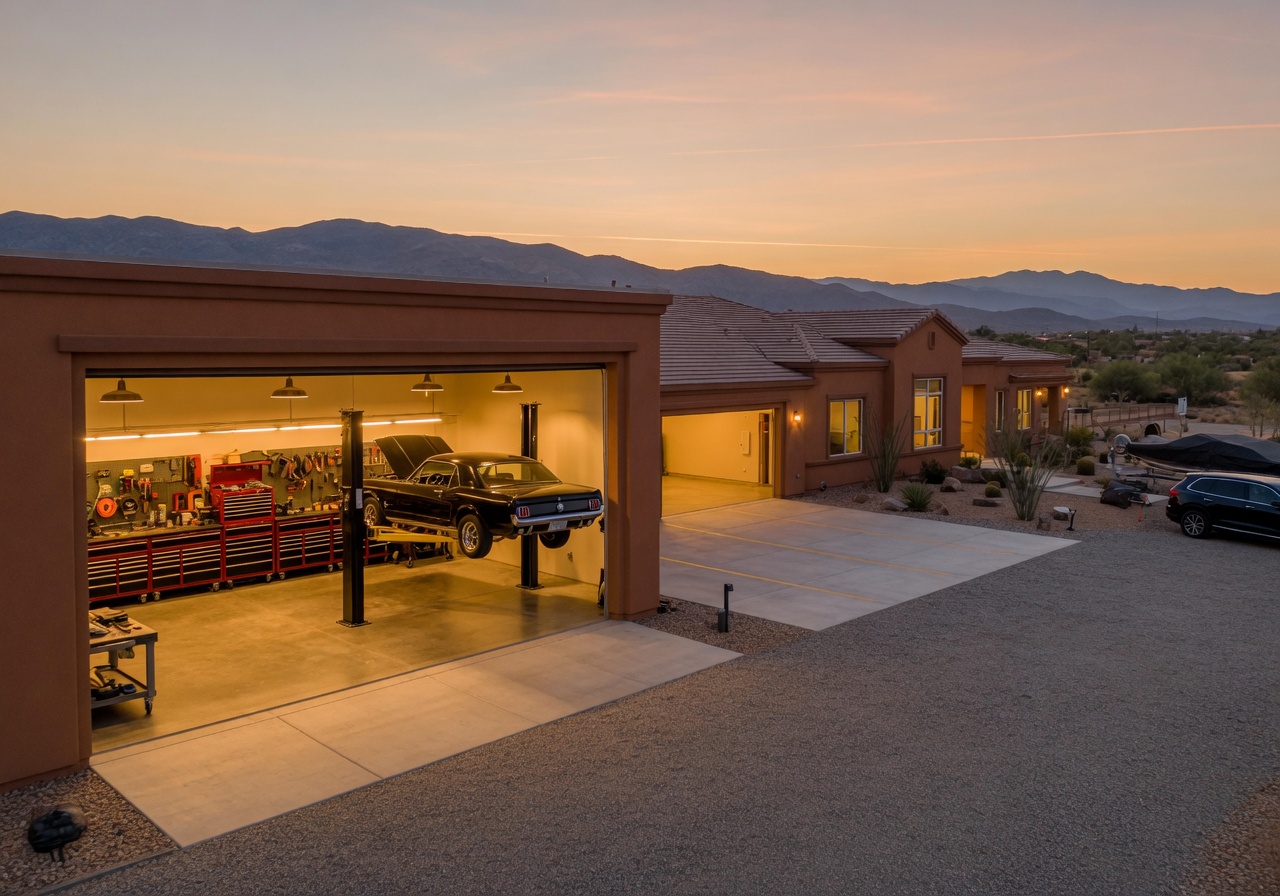
And the best part? It starts right here. Carson City isn't just the gateway to Highway 50 — it's also home to a growing community of car enthusiasts who appreciate having this road in their backyard. If you're thinking about relocating to Northern Nevada and want to be near the best driving roads in the region, Carson City is hard to beat. With its garage-friendly homes, year-round car scene, and direct access to the Sierras and the Great Basin alike, it's a natural base for anyone who lives the car lifestyle.
So plan the trip, pick a car that deserves the miles, and point it east from Carson City. The Loneliest Road is waiting, and it's anything but empty.
Browse homes in Carson City and find the perfect base camp for your next adventure — a garage to store your ride and a front door that points toward the best roads in Nevada.
Related Reading
5 Scenic Drives to Take
The essential scenic driving routes across Northern Nevada — from mountain passes to high desert straightaways.
Fall Driving Season
Why fall is the best time to drive in Northern Nevada — foliage routes, cooler roads, and prime conditions.
Cruise Night Guide
Weekly cruise nights, Cars & Coffee meetups, and car gatherings across Reno, Carson City, and Sparks.